
Workshop in Les Cayes, Haiti, UN-Habitat
Introduction
In a context of rapid growth and limited urban planning and management capacities, Haitian cities have difficulties to cope with this uncontrolled urbanisation dynamic. Urban growth raises considerable challenges for development, such as urban sprawl, the infrastructure deficit and mobility issues. It is becoming urgent to provide municipal administrations with urban planning tools capable of meeting the current challenges of Haitian cities and ensuring their sustainable urban development.
The objectives of the project are to overcome the challenges of connectivity, infrastructure, environmental risks, water and public space management, extension zone planning and restructuring of the existing urban fabric. A strategic vision and a new urban structure to improve sustainable urban development will be proposed.
Context and background
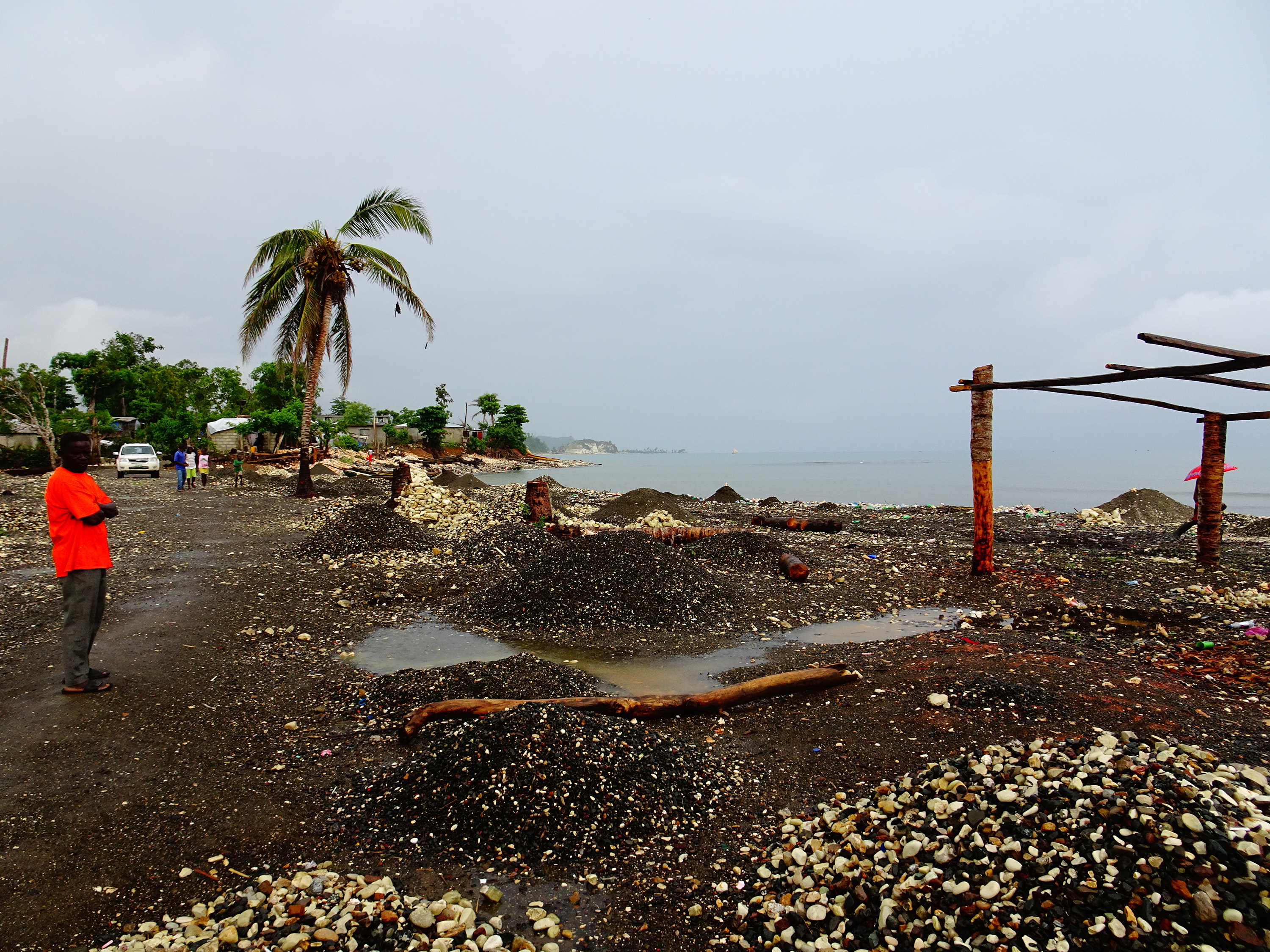
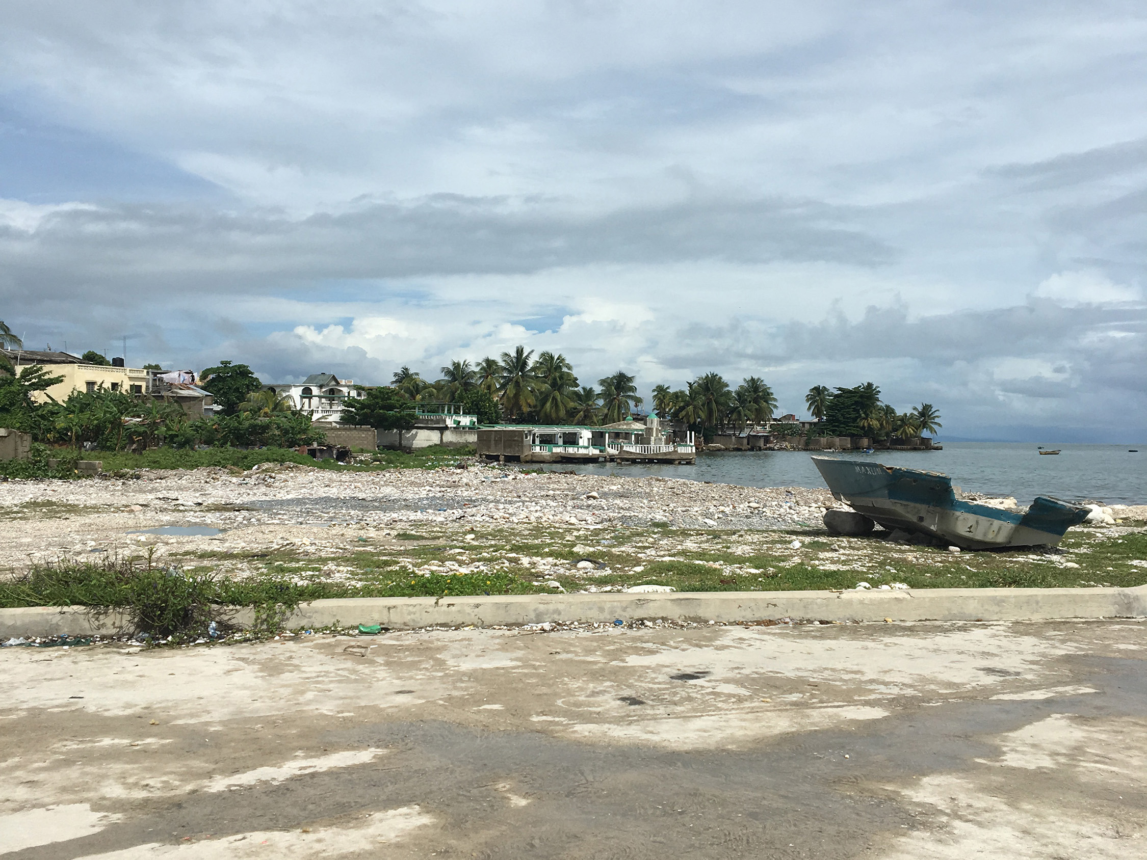
Haiti, officially the Republic of Haiti, is a state located on the island of Hispaniola, in the Caribbean Sea. The island, hit in the summer of 2004 by hurricane Jeanne, in January 2010 by the second most destructive earthquake in human history and in October 2016 by hurricane Matthew, lives in a state of humanitarian emergency. On 14 August 2021 the country was again hit by a massive earthquake. Haiti has about ten million inhabitants. Despite a very high density (360 ab./km²), the population distribution is highly heterogeneous: most Haitians live in cities, coastal plains and valleys. The project of Development, Beautification and Extension (PAEE) for four cities in Haiti, was developed to meet the needs of the inhabitants in compliance with the principles of sustainable urban development while improving the environment and the living environment of the population.
The plan was developed to contribute to the recovery of the city after Hurricane Matthew, to prevent future disasters, and to promote sustainable urban development through strengthening local governments.
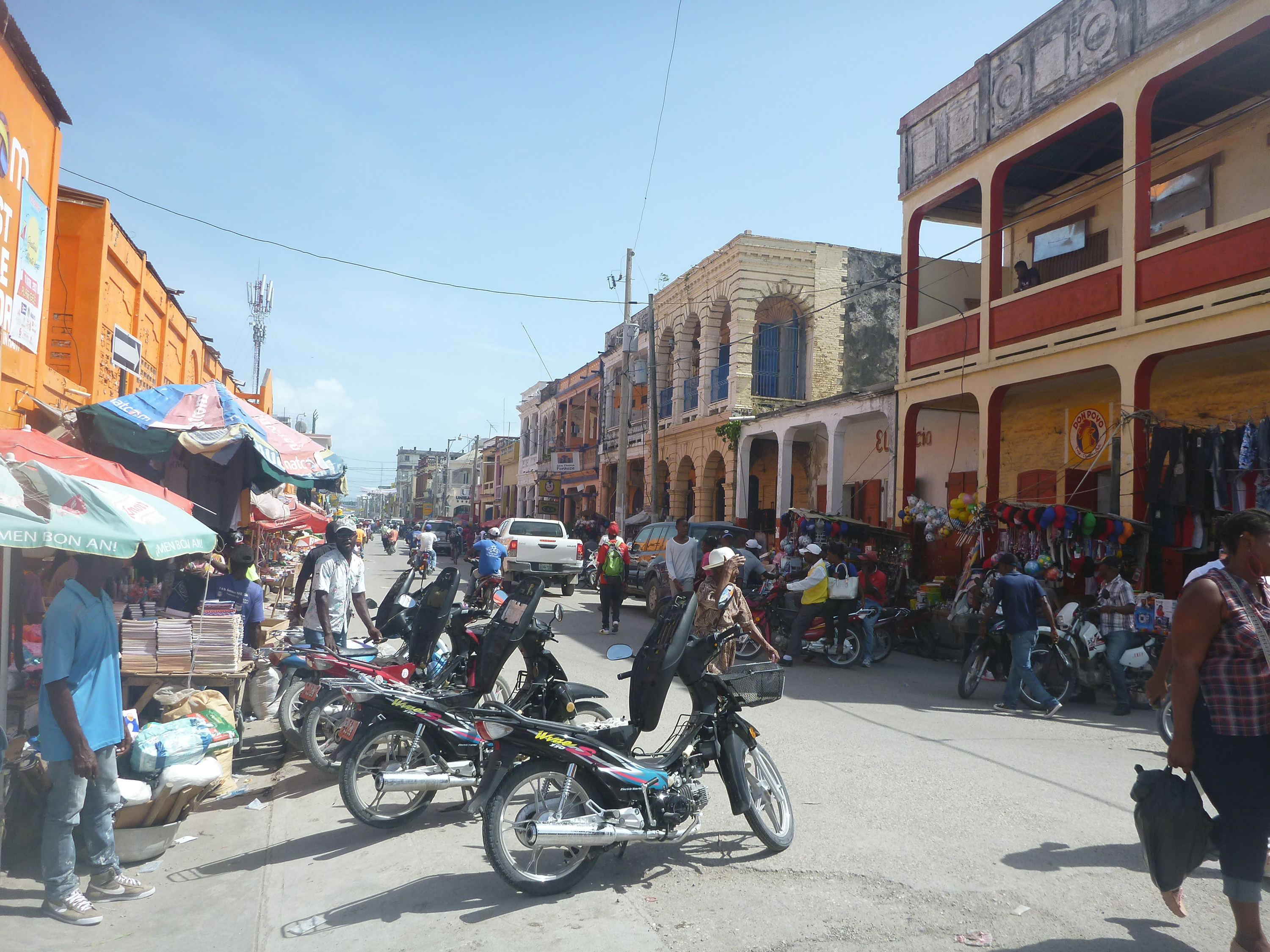
The commune is located about 190 km west of the capital, Port-au-Prince. The city of Les Cayes is mainly spread over the 1st Bourdet section and tends to expand slowly over the Laurent and Fonfrede sections.
Les Cayes is one of the 12 regional hubs identified in "Le Plan d’Action pour le Relèvement et le Développement d’Haïti (PARDH)". The commune of Les Cayes has an estimated total population of 151,696 inhabitants (IHSI 2015), with an area of 219.11 km2, the average population density is 692 inhabitants/km2. The population is predominantly urban, representing 58% of the total population. In addition, the population is mainly concentrated near the bay of Les Cayes.
It is the third largest city in Haiti and the capital of the Sud department. It is also the second city on the south coast, in terms of population with 86,780 inhabitants.
Plan and process
The development of the plan followed a participatory process approach, which was carried out in different stages:
- A launch session to introduce the approach as a whole, its objectives and the steps proposed to the Mayor and the municipal team.
- A technical analysis and diagnosis workshop to define the urban structure of the city (districts, roads, facilities and structuring public spaces).
- A second workshop for the constitution of a restricted reference group which worked on the definition of the vision and the strategic orientations for the city.
- A third technical workshop to define priorities, which allowed more precise reflection on the projects to be implemented in order to achieve the objectives set by the strategic orientations.
- A municipal plenary session should have been organised following the third workshop with the aim of explaining the complete process and presenting all the work carried out. However, due to the political context, the session was replaced by several meetings during the months of December and January 2019.
Resource for the development of Our City Plans
The elaboration of this plan was based on a participatory approach, which encountered some difficulties due to the political situation. For this very reason, it was a valuable experience for the development of the Our City Plans methodology: OCP aims to be participatory but also flexible, which means that it needs to adapt to different social, political, economical and environmental contexts. This project experience provides information regarding a context in which the political framework can interfere with the carrying out of participatory activities and it is necessary to find different adaptations so the participatory component can still play a relevant role in the planning process.
Results
The workshops were divided into different phases. It presented the context of the Urbayiti project, methodology and different projects experiences in other cities to illustrate what types of projects and outputs could be developed in each place. Following this, the participants established the list of desired projects, the potential timeline, the responsibility for implementation and the possible source of funds in order to implement them.
The results of the participatory activities were, therefore, the correction and validation of the plan, a list of projects and an action plan to implement them.

