Participatory Mapping - UN-Habitat
Introduction
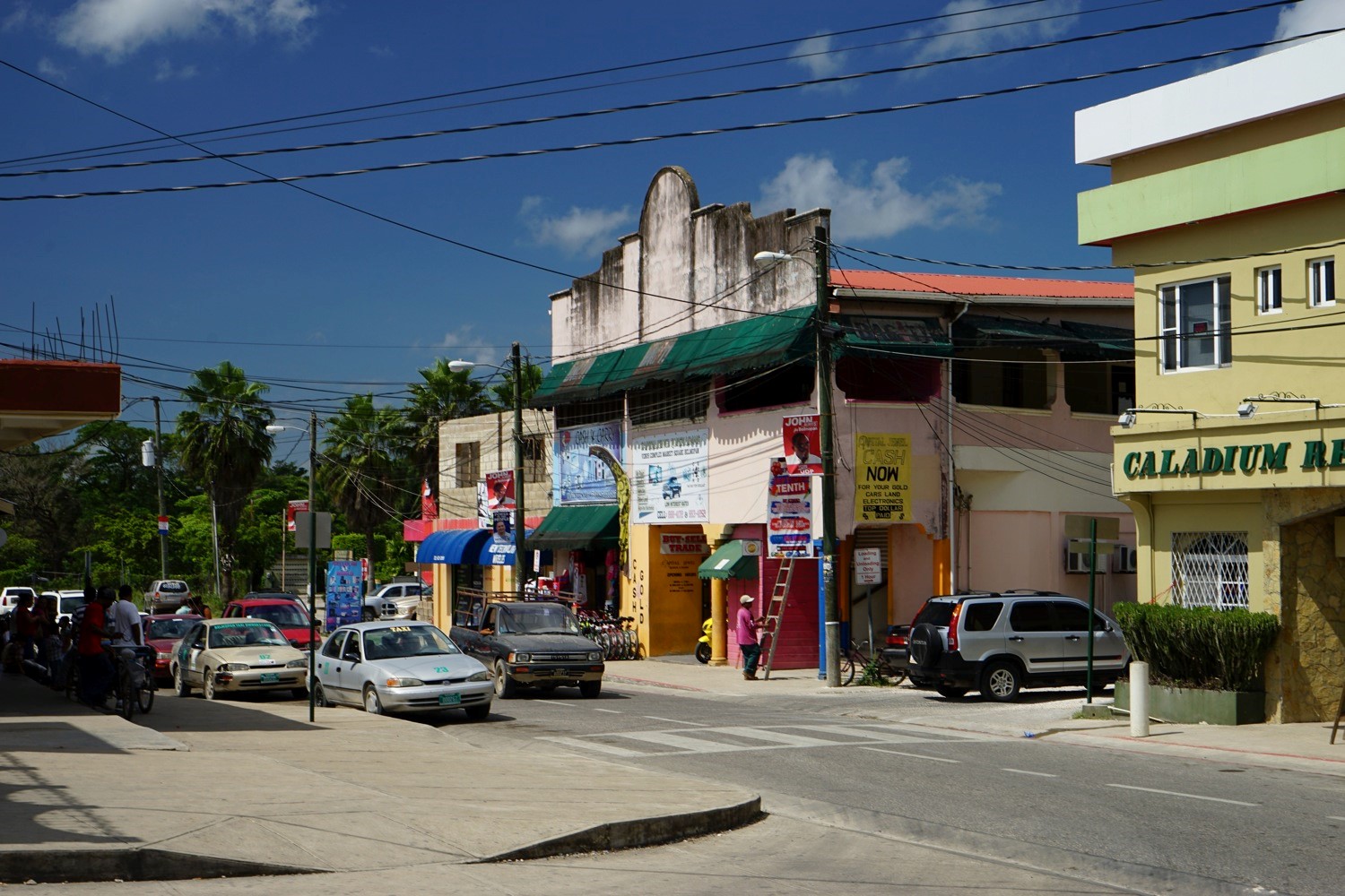
Many are the problems faced by Belmopan city: being a new capital inevitably leads to difficulties in the administration of the city centre with a poor sense of belonging and identity. In particular, there are considerable difficulties in walkability and connectivity, in the management of environmental issues like floodings and in housing access and availability for the growing population. These aspects cause a difficulty in the realisation of an expansion plan. The intent of the project is to anticipate and plan the city’s growth and expansion developing a strong “green” capital with administrative and business districts, integrating cultural and natural assets of the city into an urban plan and supporting the population introducing new typologies of housing.
Context and background
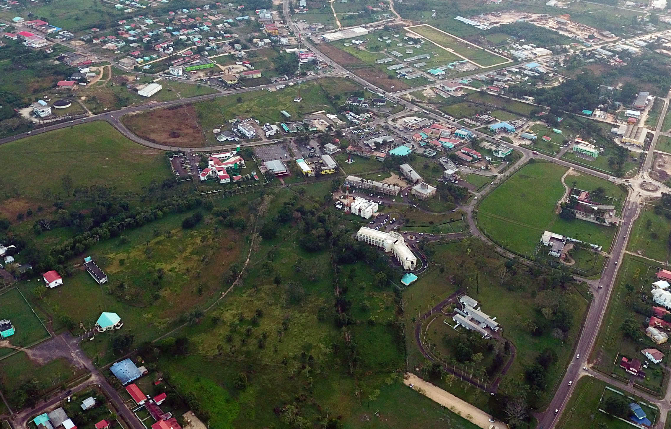
Belmopan is the capital city of Belize, its population in 2010 was 16.451, and today is more than 20.000. In addition to being the smallest capital city in the continental Americas by population, Belmopan is the third-largest settlement in Belize and also the fastest growing population centre. The rapid growth of inhabitants in the old capital, Belize City, brings congestion, rickety infrastructure and lack of land to house people.
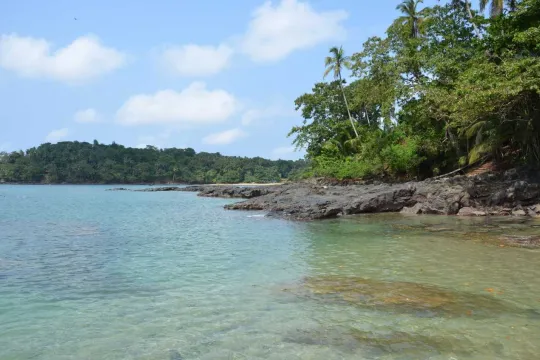
Belmopan was constructed with British aid following the devastation of Hurricane Hattie in 1961 that demolished approximately 75% of the homes and business places in Belize City, the geographical location of the city, about 80 km from the coast, allows the reduction of hurricanes’ risks that otherwise would be very high. Belmopan and areas extending throughout the Cayo District are the centre of Belize’s ecotourism industry.
Plan and process
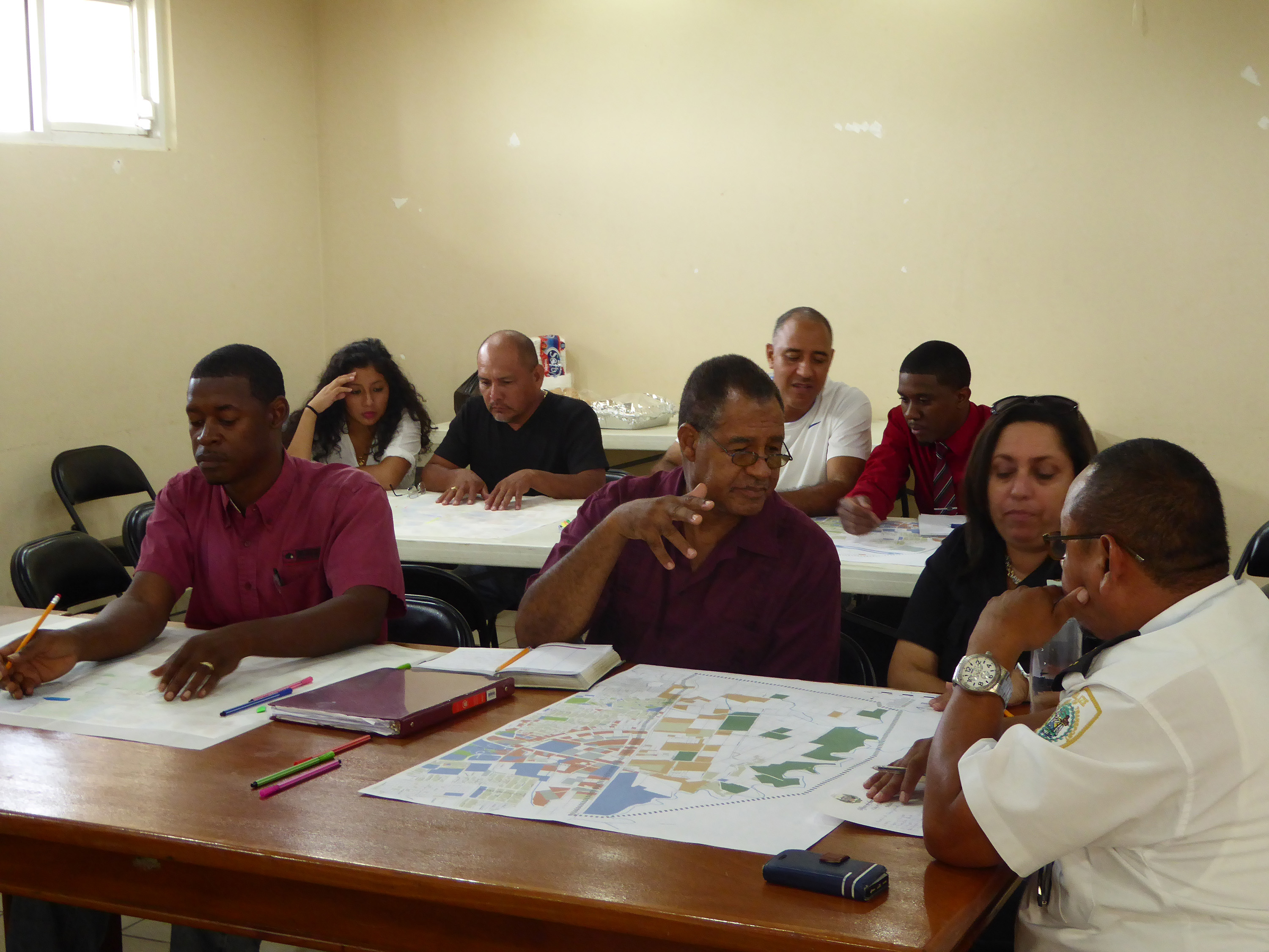
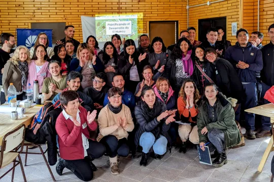
The project plans to delineate a city centre transformative area with key strategic connection axis linking it to the rest of the city, using a detailed planification of the strategic areas for denser mixed-use development in the vacant areas near the new city centre and enforcing the development of a ‘green walkable city’ through a blue-green system of pedestrian and bicycle streets and paths and natural corridors, linking different places of interest. Considering all the difficulties caused by environmental misfortune such as flooding, hurricanes and so on, it is good to have an advanced study of the potential areas for city expansion. The support from UN-Habitat was provided through workshops, initiatives that supported specific missions where experts could share knowledge and provide training, training sessions and technical and theoretical support.
Resource for the development of Our City Plans
Most of the cities have seen in recent years and decades an evident development that has led to an increasing rate of population never seen before. As a result, urbanisation becomes a real challenge that cities often face without the means and skills to do so. Bringing sustainable improvements to the urban environment is crucial to achieving long-lasting results for all our communities. The aim of this project is to help and guide the various stakeholders in the realisation of their objectives through an approach based on support, training and collective participation, principles married and developed from Our City Plans. Starting from the origins and adapting the planning process to the tradition and to the place is fundamental in the realisation of a strong planning process.
Results
Certainly the project has succeeded in the intent of supporting the local stakeholders by technical workshops designed to develop and understand key components of a zoning bylaw and its application to real property. Several working sessions were carried out, including a consultation session and design charrette for re-vitalizing the “Market Area” that have led to the implementation of a development plan for this area also called “Downtown”, and the creation of “Belmopan City Centre Conceptual Plan”. Even if the realisation of concrete results is real the main goal was to transfer the knowledge on how to develop a comprehensive zoning bylaw by using local resources respecting the data constraints from the municipal GIS database.