Introduction
UN-Habitat developed the project "Development of sustainable and resilient cities and communities in Neuquen Argentine Province", together with the Secretariat of Planning and Action for Development (COPADE) of the Government of the Province of Neuquén and financed by the Federal Investment Council of the Argentine Republic (CFI). The project included different products elaborated in collaboration with the United Nations Office for Project Services (UNOPS) and UN Women.
UN-Habitat focused on products related to capacity building, public space, and the development of four urban development plans using Our City Plans methodology for the municipalities of Las Lajas, Plaza Huincul, El Huecú and Aluminé. These aimed to guide local governments in their urban planning processes, using a participatory, inclusive and flexible methodology, aligned with the principles of sustainable development, thus promoting a better quality of life for their inhabitants.

Context and background
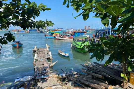
The province of Neuquen is located in the northeast of Patagonia region, and has 726, 590 inhabitants. Aluminé belongs to the Alumine department. It is located next to Alumine River and has a population of 4,861 people. The municipality is part of the Great Turistic Circuit as it is located in a snow tourism area. It has experiences a rapid population increase, of more than 30% in the last 20 years. Its population is diverse as it includes mapuche communities.
Plan and process using Our City Plans
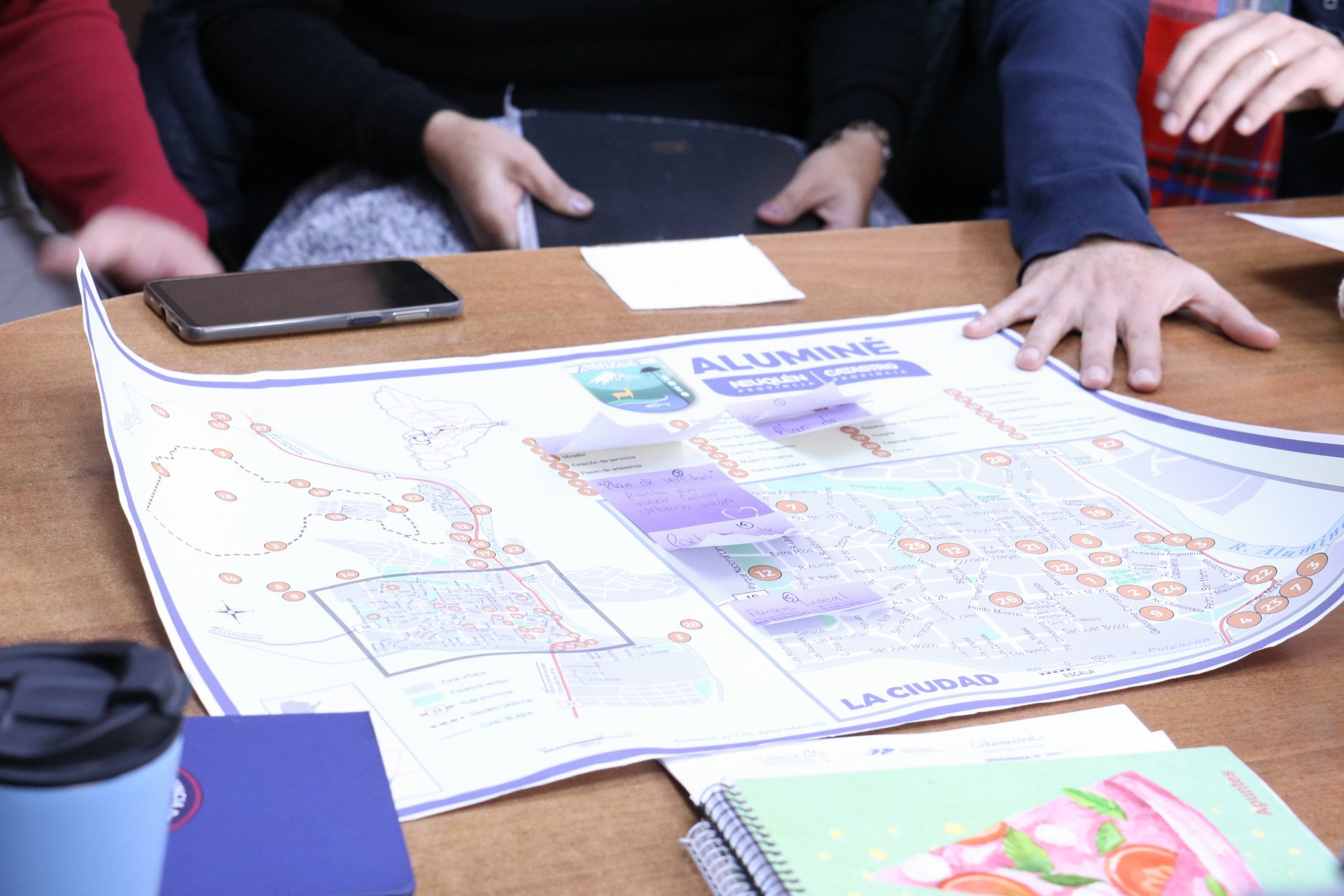
Alumine Municipal Plan used Our City Plans toolbox and methodology for the development of participatory and comprehensive planning processes, adapted to the context and needs of the city. The Plan includes a Strategic Development Plan, with a long term vision and strategies for the city, as well as a Land Management Plan, with zoning and land uses established to guide the city development and growth.
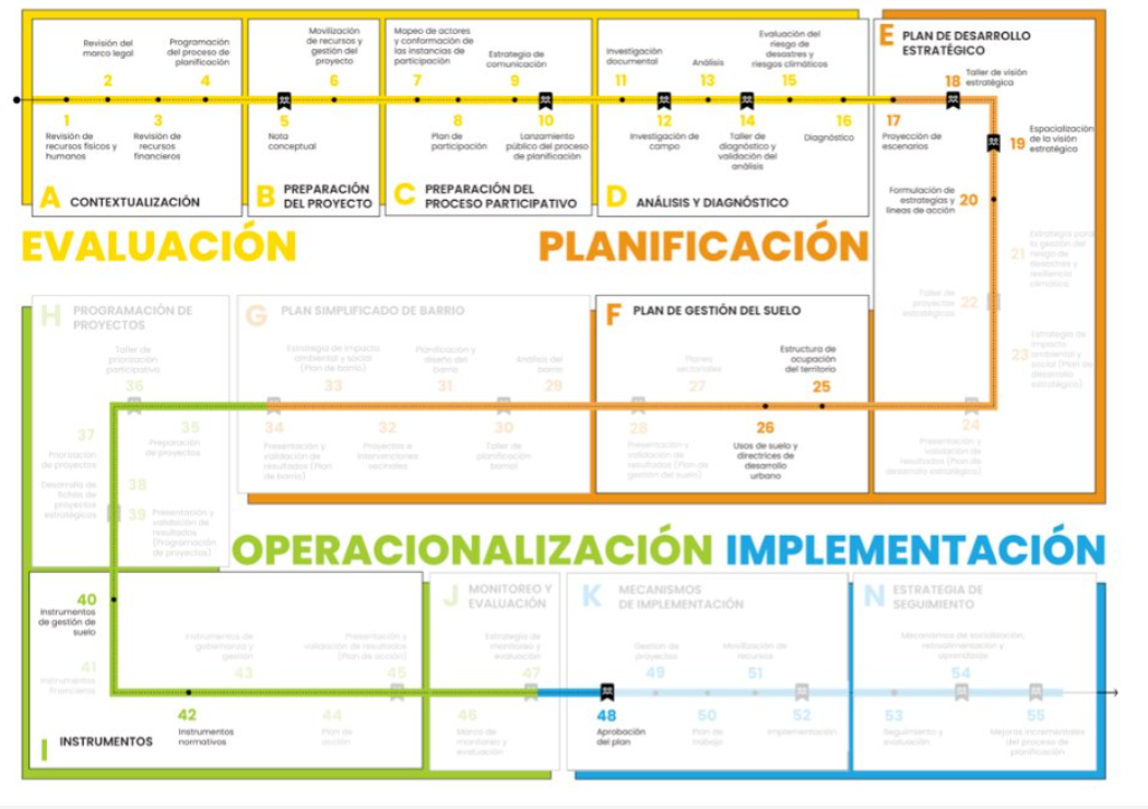
Alumine Municipal Plan, titled "Planning Our Alumine 2024" followed the first three phases of Our City Plans (Assesment, Planning and Operationalisation), selecting the relevant Blocks and activities and adapting them according to the local context, the needs and objectives of each plan, as well as the available resources. For Las Lajas Plan Blocks A (Contextualisation), B (Project Preparation), C (Participation Set-Up) and D (Analysis & Diagnostic) from the Assesment phase, E (Strategic Development and Spatial Plan) and F (Land Management Plan) from the Planning phase and Block I (Instruments) from the Operationalisation phase were developed. It is also expected that the planning process concludes with the Block K (Implementation Mechanisms) of the Implementation phase, with the approval of the Municipal Plan.
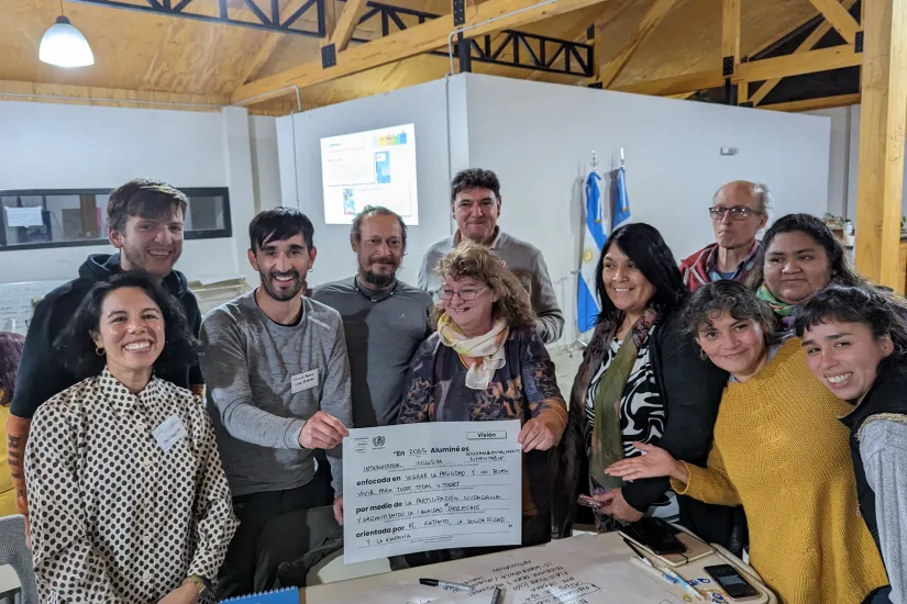
The planning process included a cross-cutting participation component. 4 missions in territory were developed, along with 14 activities with the municipal team, 2 participatory workshops and 2 gender roundtables, with more than 230 participants included in the process. A report of the participatory process that details all the activities and systematisation of results of this process was developed as an Annex.
Additionally, a Municipal Ordinance (Local law and regulation) was elaborated as another Annex, including the strategic and the land management components, which allowed the Plan to be approved by December 2023.
In terms of the structure of the plan
- Chapter 1: Contextual Framework, develops an analysis of all the regulatory and urban development guidelines and instruments applied to the Municipality, reviewing the global, national, provincial and municipal scales in order to understand the planning framework in which this plan is developed.
- Chapter 2: Analysis, is organized in four areas: environmental, socio-economic, connectivity and mobility, and urban, using spatial and statistical analysis methods.
- Chapter 3: Current Territorial Model (Diagnostic), includes the main findings and conclusions of the analysis, spatialising the challenges and opportunities that are presented in Las Lajas and that will guide the guidelines of urban development.
- Chapter 4: Strategic Vision of Las Lajas, represents the aspirational future of the city, elaborated during multisectoral participatory activities.
- Chapter 5: Desired Model (Spatialization of the Strategic Vision), includes the territorial and planning strategies and actions to achieve the Strategic Vision, organized in four territorial systems: environment, economic-productive, connectivity and mobility, and urban.
- Chapter 6: Land Management Instruments, includes the zoning and land use, as well as urban indicators for each.
- Chapter 7: Next Steps, details the recommendations for the implementation of the Plan, guided by Our City Plans toolbox.
- Annexes:
Participatory Process Report
Land Management Regulation