Participatory Mapping in Bubaque, Guinea Bissau, UN-Habitat
Introduction
The Bubaque Basic Spatial Plan represents the third result of the global project "Strengthening national and regional development planning: A Spatial Development Framework for Guinea-Bissau and a Spatial Development Strategic Plan for the Bolama-Bijagós Archipelago (Bijagós 2030)", financed by the European Union and implemented by UN-Habitat in collaboration with the Government of Guinea-Bissau.
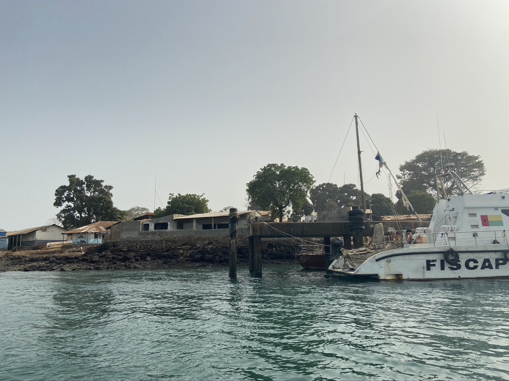
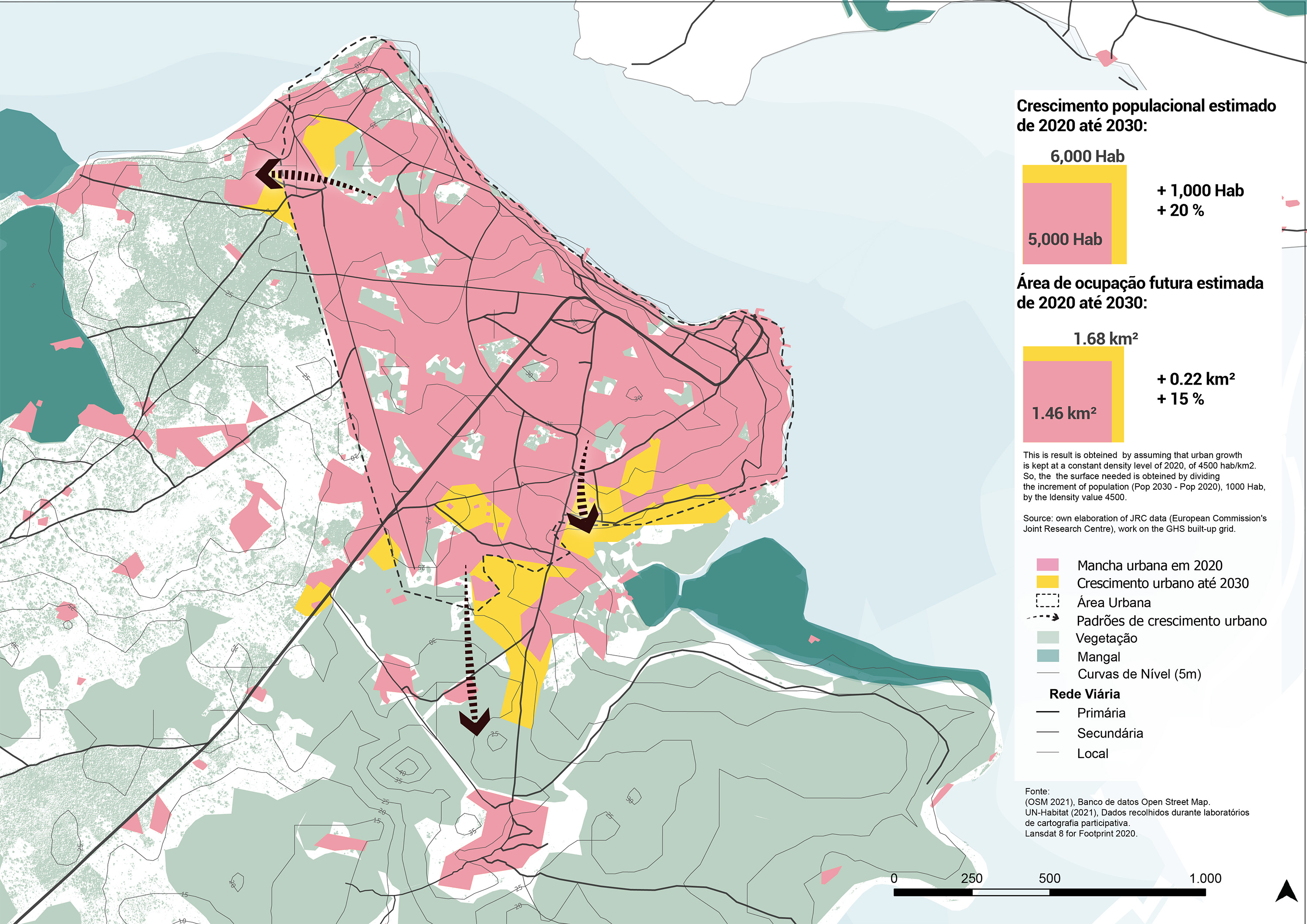
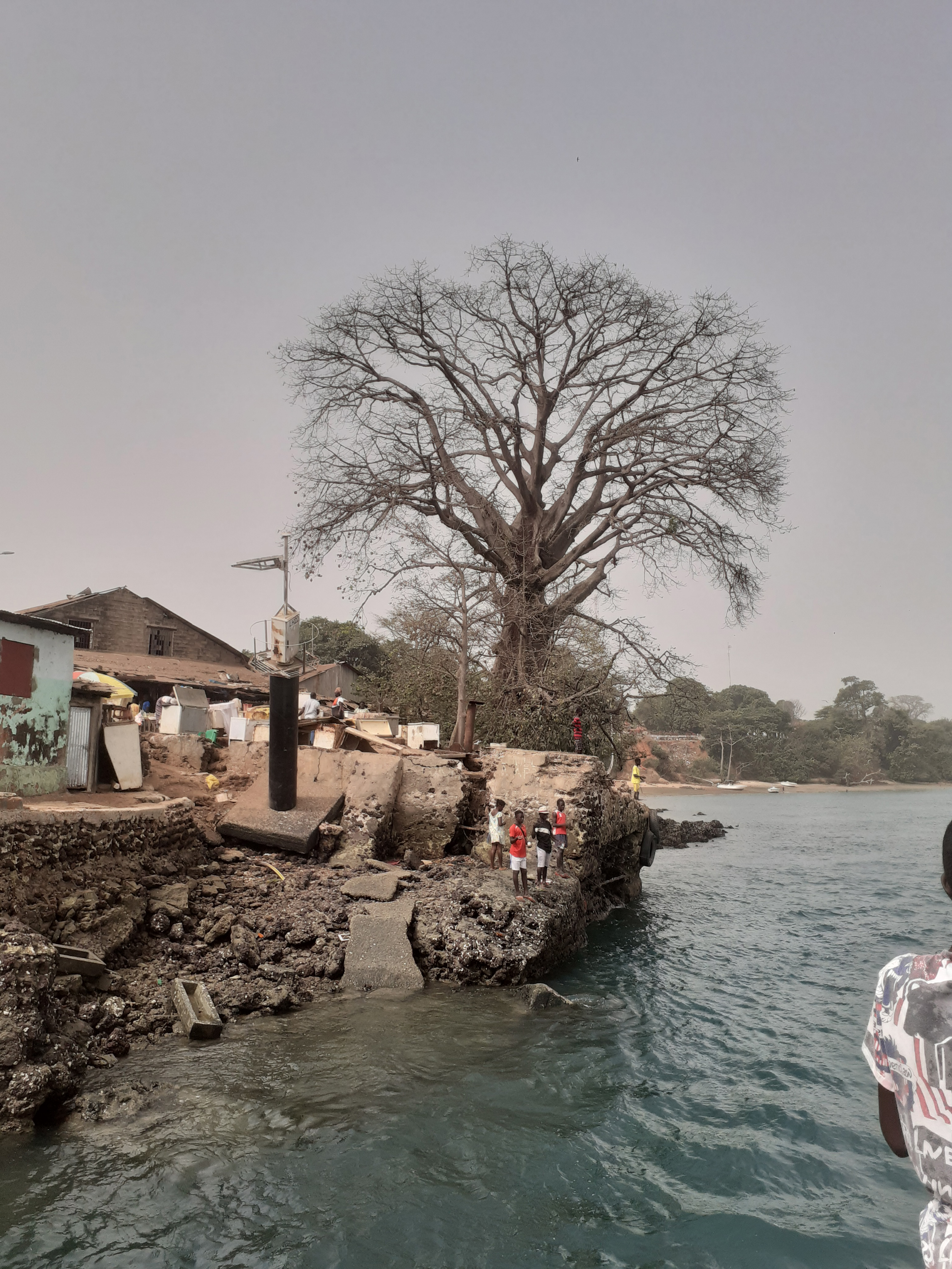
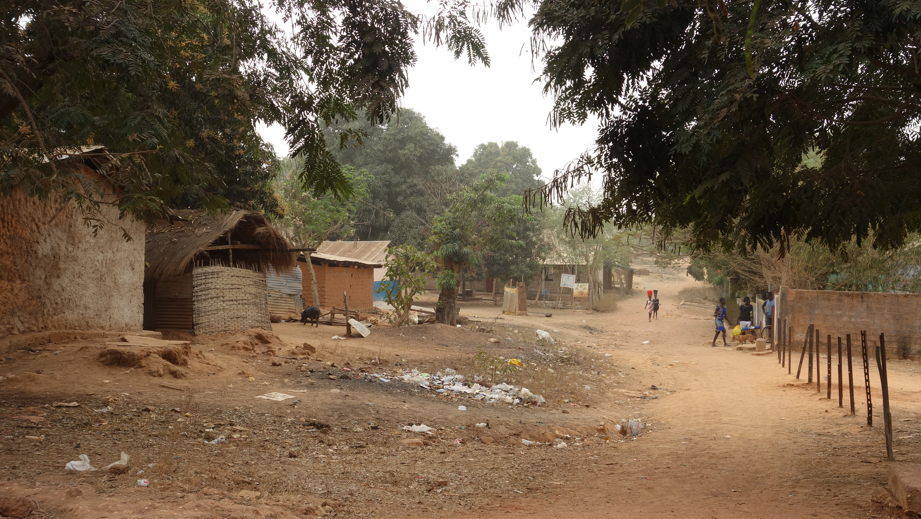
Bubaque City is one of only two urban areas in the region and is characterised as the main centrality for most of the islands in the archipelago, concentrating employment opportunities, better infrastructure and services. According to the most recent demographic census, in 2009 the Sector had 38% of its 11,204 inhabitants living in settlements considered urban, concentrated in the town of Bubaque, where land use is mostly mixed, combining residences and small commercial outlets, and of low density.
The main objective of the plan is to identify the main challenges and define a spatial strategy and a set of concrete actions that take into account local opportunities through a comprehensive diagnosis, identifying current land use, proposing appropriate land planning for the city, and providing the basis for the development of legal and planning instruments to ensure its implementation.
Context and background
Although the economy of the Archipelago is very modest, the town of Bubaque has the most vibrant commercial area and is considered the commercial centre of the region. The main challenges and focus areas for the Plan were identified, which at the same time provide a conclusion of the diagnosis of the main constraints found, and serve as guidance and rationale for the Plan:
- Lack of urban public transport system and mobility
- Inadequate infrastructures and lack of basic services
- Dispersed growth and disorderly urban expansion
- Exposure to environmental threats.
Plan and process
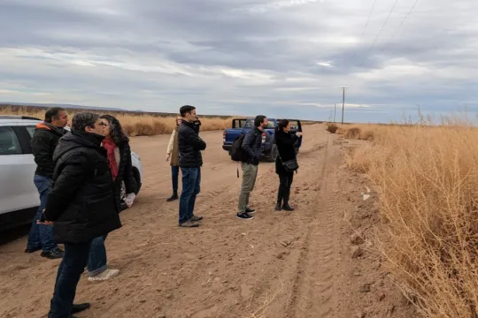
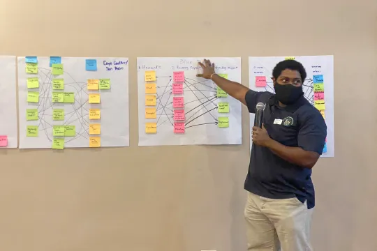
The planning process comprised a data collection process, followed by analysis and diagnosis, strategies, and the action plan. All stages of the plan had a strong component of community participation, grassroots associations, central and regional government agencies, local leaders, traditional power, academic institutions, NGOs, and other stakeholders present in the Sector.
The assessment phase started with a data collection process, which included a desk and field research, data modelling in a Georeferenced Information System, and questionnaires with several local players. The alignment of technical and empirical perceptions was evidenced in the validation of the diagnosis in participatory workshops, with an open session for comments and suggestions. By structuring the spatial strategies around the five objectives of Bijagós 2030, the plan did not only reinforce the necessary alignment with the regional plan, but also seeks to align the planning system at different scales and thus contribute to the local implementation of regional, national and global agendas.
Use of Our City Plans
The use of Our City Plans helped different urban stakeholders better understand urban planning processes and assess at what stage they need to participate to ensure that their voices are heard, and their interests considered as part of the city's vision, policies, strategies, programs, plans and projects.
The main value added by the methodology is the tailored planning process, considering the available resources and capacities of the context through a participatory and capacity building approach. Also, through the coordination and co-development between UN-Habitat and the Government, each in their capacities have led the planning process with participatory mapping exercises, city reconnaissance and consultative workshops.
Results
The plan is at the stage of operationalization. In addition to the Our City Plans activities and tools already applied within the development of the plan, there are a number of additional activities that could support the further operationalization and implementation of the Bubaque Plan. These include for instance financial mechanisms, use and explore different regulatory directives (e.g. FAR, setbacks, mixed land use), as well as processes such as land readjustment that can mobilise funds to support urban development.